


Harding Lake Water Level Stabilization Project
Summary and Recommendation
3/11/04
Executive Summary
This document describes some of the history and problems associated with the low water level of Harding Lake, a solution that has been funded by Congress, and a recommendation for a stable water level.
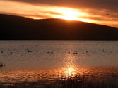
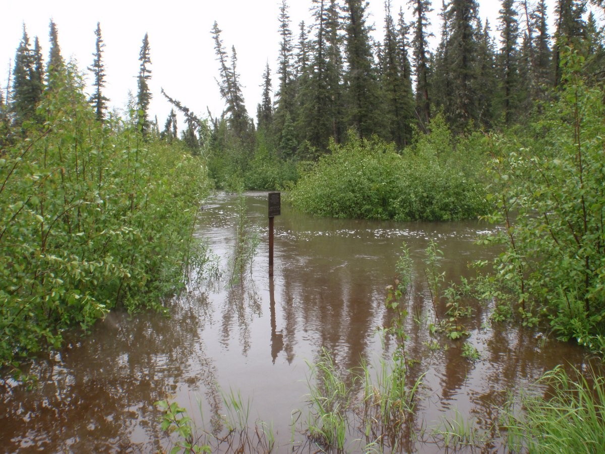
The lake has gone through periods when the lakebed has been covered and water is to the banks, and periods of low water exposing hundreds of acres of lakebed. The lake is currently low; 5 feet lower (vertically) than it was in 1968 and at least 5 feet lower than it has been at other times in the last 60 years. This has created large areas of gravel flats (colonized by terrestrial grasses and shrubs, essentially turning into woodlands if left untouched) or silty, boggy flats in front of what once was lakefront property. Areas of dense aquatic vegetation once prevalent primarily in the northern flats of the lake have begun to colonize areas in front of the developed areas. Public and private boat launches have become unusable. Harding Lake was the only viable roadside northern pike fishery in Interior Alaska that produced large fish. Almost all of the high quality spawning and rearing area for northern pike dried up, causing a drastic decline in the northern pike population. The Alaska Department of Fish and Game (ADF&G) and the State Board of Fisheries have been forced to close fishing for northern pike until such time as habitat restoration allows recovery of the pike population.
When the lake level dropped for the first time in the current sequence of declines and rises, in the 1970’s, the Alaska Department of Natural Resources commissioned an elevation survey, done by a private contractor, and a hydrological study, done by the Institute of Water Resources at the University of Alaska. These studies are part of the foundation of the Congressionally funded solution.
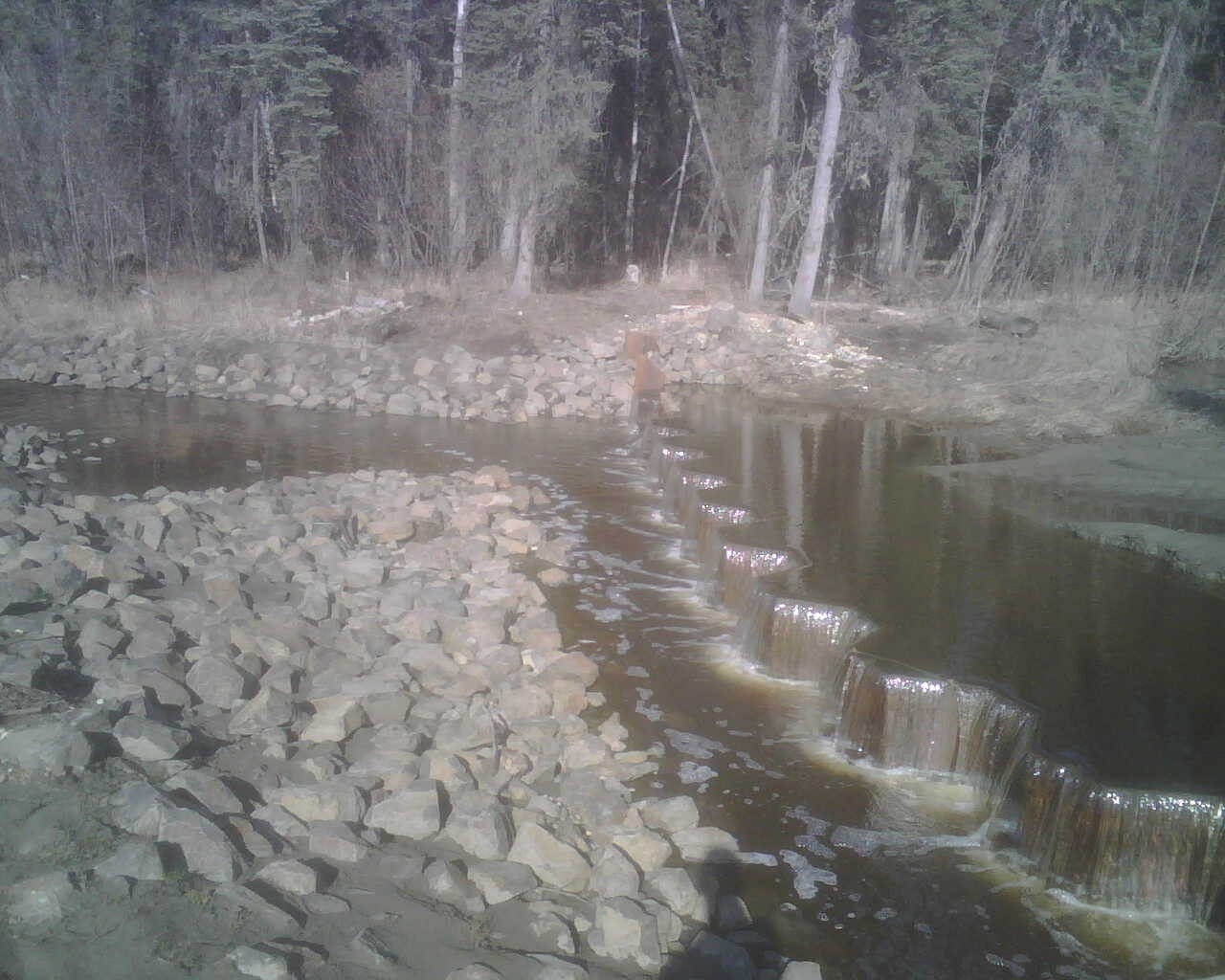
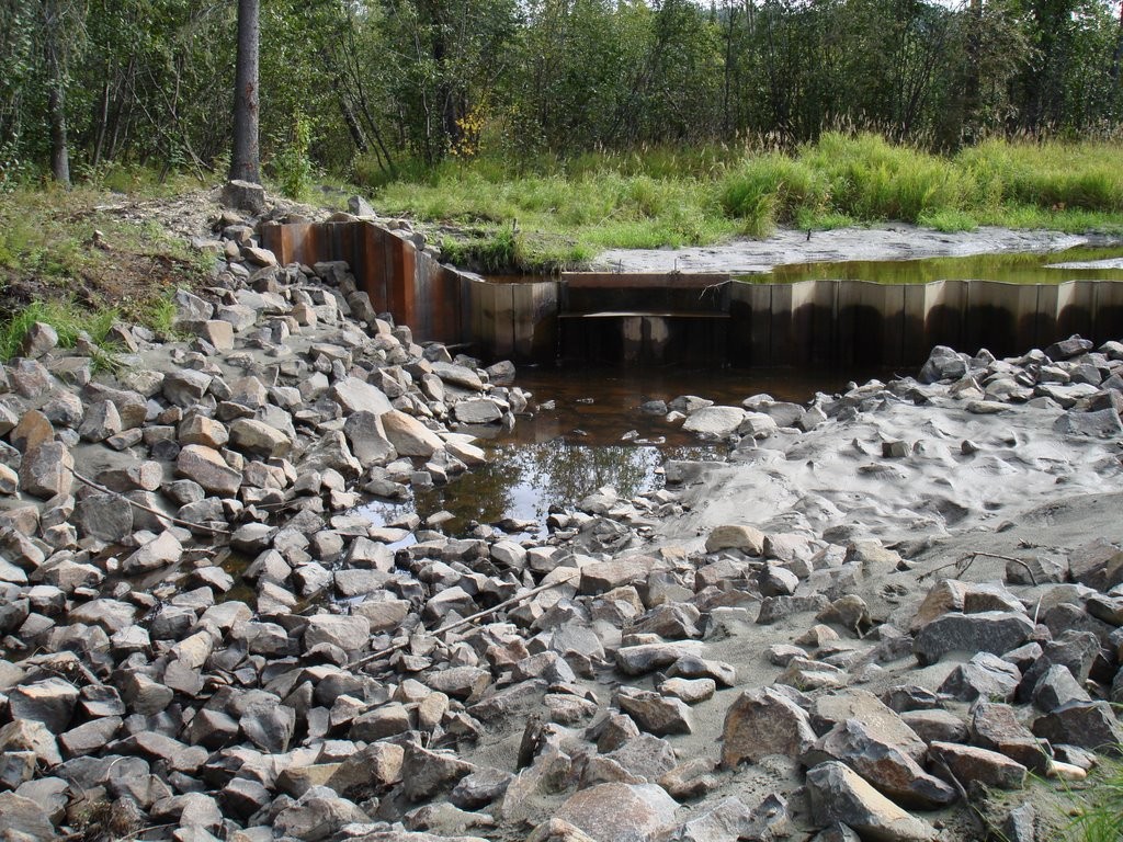
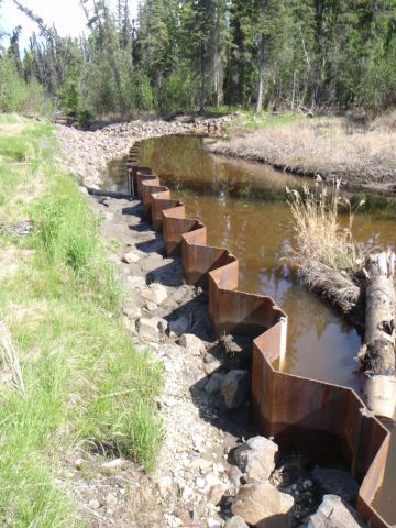
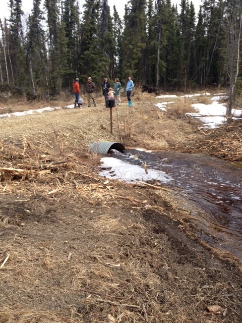
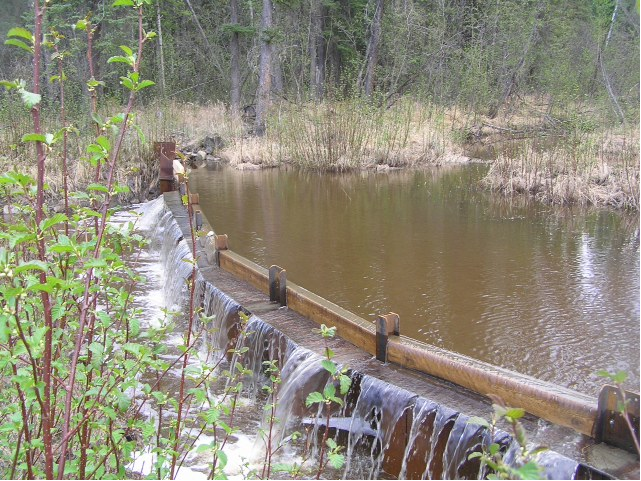
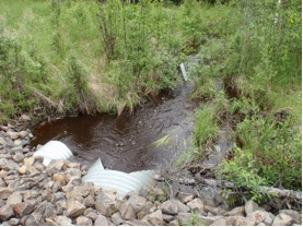
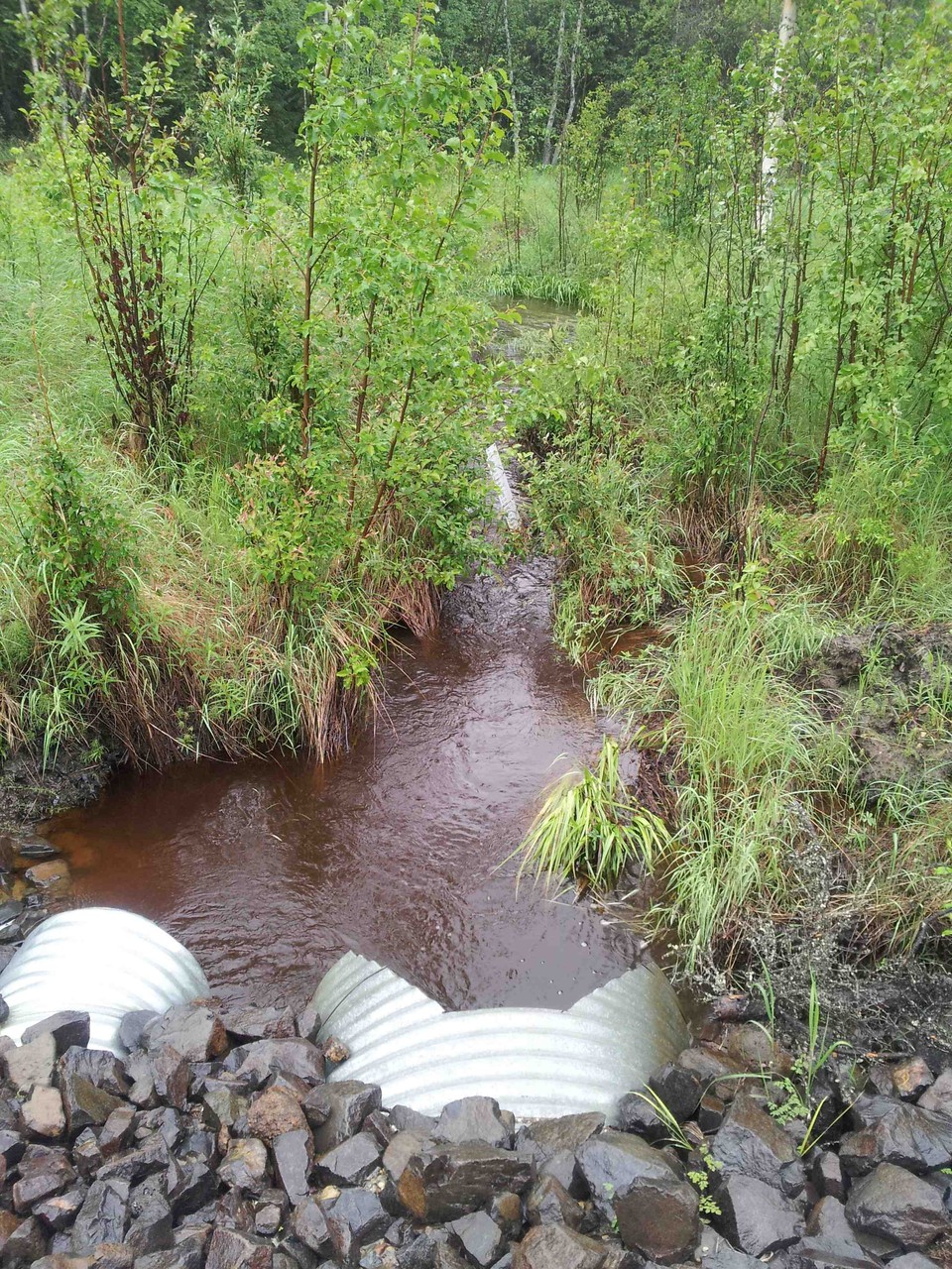
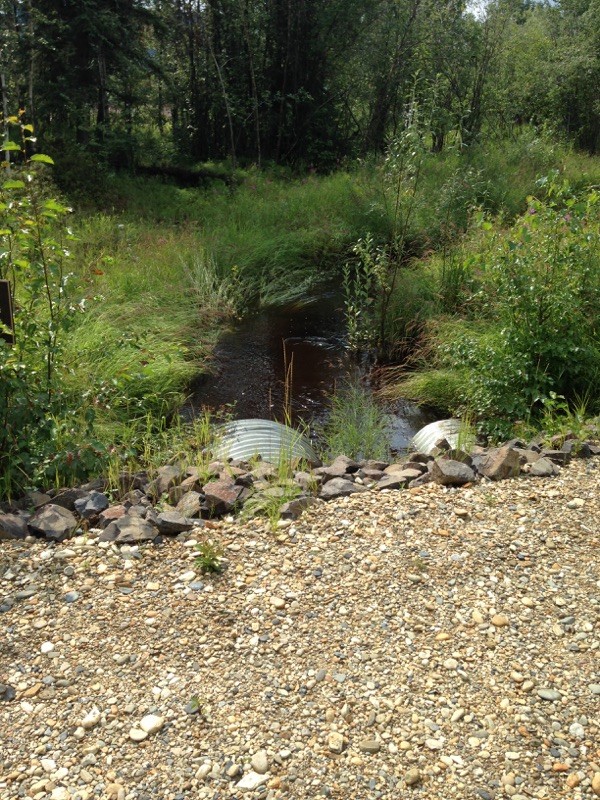
A stream (Rogge Creek) flowing from a basin to the east of Harding Lake, which has historically either flowed into the lake or the Salcha River, can be stabilized so that part of its water flows into the lake at a controllable rate, allowing the lake to be maintained at a higher and stable level. Surveys, inspection of aerial photographs, and on-site inspections have identified an outlet channel from the lake in the northern woodlands that will carry water to the Salcha River if the water level is more than about 3.5 feet above the current level and the berms on the north end of the lake are open.
The Harding Lake Association and the Harding Lake Watershed Council, in a process facilitated by the Delta Soil and Water Conservation District (SWC), developed information and a strategy to control Rogge Creek, and Congress provided funding for the project. SWC brought National Resource Conservation Service (NRCS) into the process. NRCS has agreed to provide engineering and to oversee construction of the project. Sport Fish Division of ADF&G has agreed to maintain and operate the project provided that it achieves objectives designed to benefit northern pike. After reviewing research literature evaluating similar restoration projects and northern pike spawning habitat requirements, ADF&G has recommended that the lake be maintained at a level approximately 3 feet above the level of 2003 (within its lakebed, about where it was in 1990 and about 2 feet lower than in 1968). This will adequately restore the northern pike spawning and rearing habitat, benefit other fish and wildlife, and provide benefits to the majority of users of Harding Lake. Operation of the diversion structure will control flooding and allow diversion of the stream away from the lake if melting ice lenses or other factors cause heavy siltation.
Full Report Attached